General Measurement
- You can check measured values even if you’re not in the same location as the instrument.
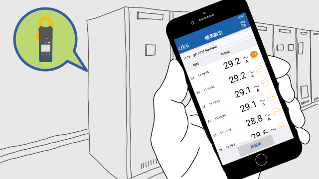
- Successive measured values are saved.
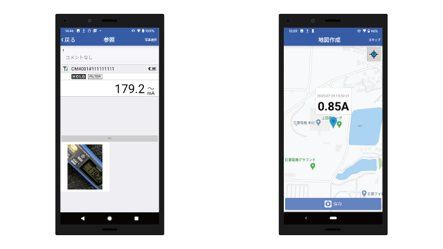
- You can link measured values to photographs and maps and save them.
Example uses
Features
Check measured values even if you can’t see the instrument’s display.
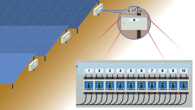
If you’ve embedded an instrument somewhere, you may not be able to see its display.
Instruments and GENNECT Cross communicate continuously using Bluetooth®. Consequently, the GENNECT Cross display is updated in real time.
You can review measured values without interruptions from a location up to about 10m away.
Save data along with photographs and maps.
Save measured values and the time when you tap the [Save measured value] button in GENNECT Cross or press the hold button on the instrument.
When you check saved measurement data afterwards, measured values will be meaningless if you don’t know where the readings were taken.
You can address this issue by saving measurement data together with photograph and maps.
- Photographs of the measurement target
- Photographs of measurement underway
- Area maps generated from GPS data
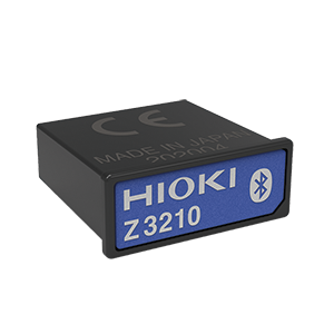
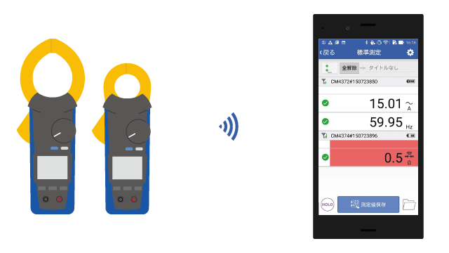
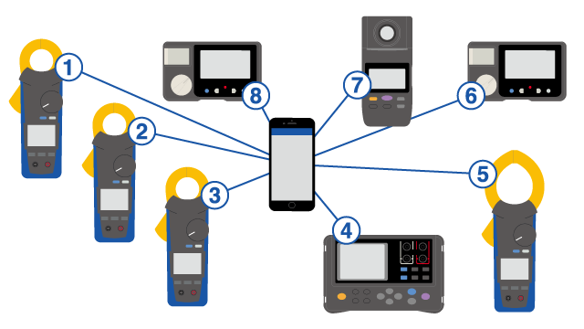
Connect up to eight instruments.
You can connect up to eight instruments via Bluetooth®, and they need not be the same model.
You can view all measured values.
Inter-channel calculations
You can choose two channels of measured values, perform any of four arithmetic operations, and view the results in real time.
For example, you can multiply voltage and current measured values and display the result as a rough estimate of power consumption, or you can perform calculations using voltage output from sensors and display the results.
Operation
Specifications
| Maximum number of instrument connections | 8 |
|---|---|
| Display refresh interval | Approx. 1 s |
| Saving of measured values | Save measured values for selected measurement channels.
|
| Taking photographs | Taking and saving photographs that are linked to measured values.
|
| Creating maps | Save an image of a map and the measurement position based on location data saved along with measured values. |
| Settings |
|
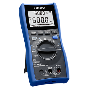
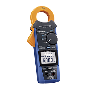
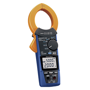
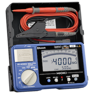
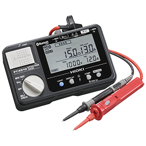
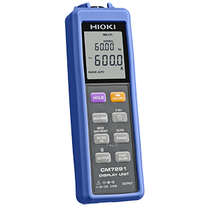
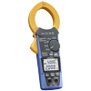
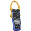
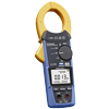
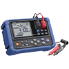
Supported instruments